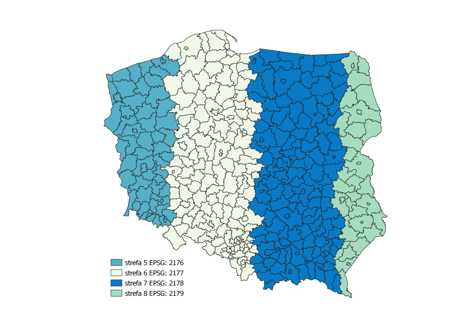
Coordinate System 2000 (PL-2000)
It is the successor to the 1965 system for geodetic applications at scales larger than 1:10,000. It is mainly used in cadastral and base maps.
- Coordinate System 2000 (Zone V) – EPSG:2176
- Coordinate System 2000 (Zone VI) – EPSG:2177
- Coordinate System 2000 (Zone VII) – EPSG:2178
- Coordinate System 2000 (Zone VIII) – EPSG:2179