Address points are a very important component of GIS-class Systems.
Address points appear in two contexts:
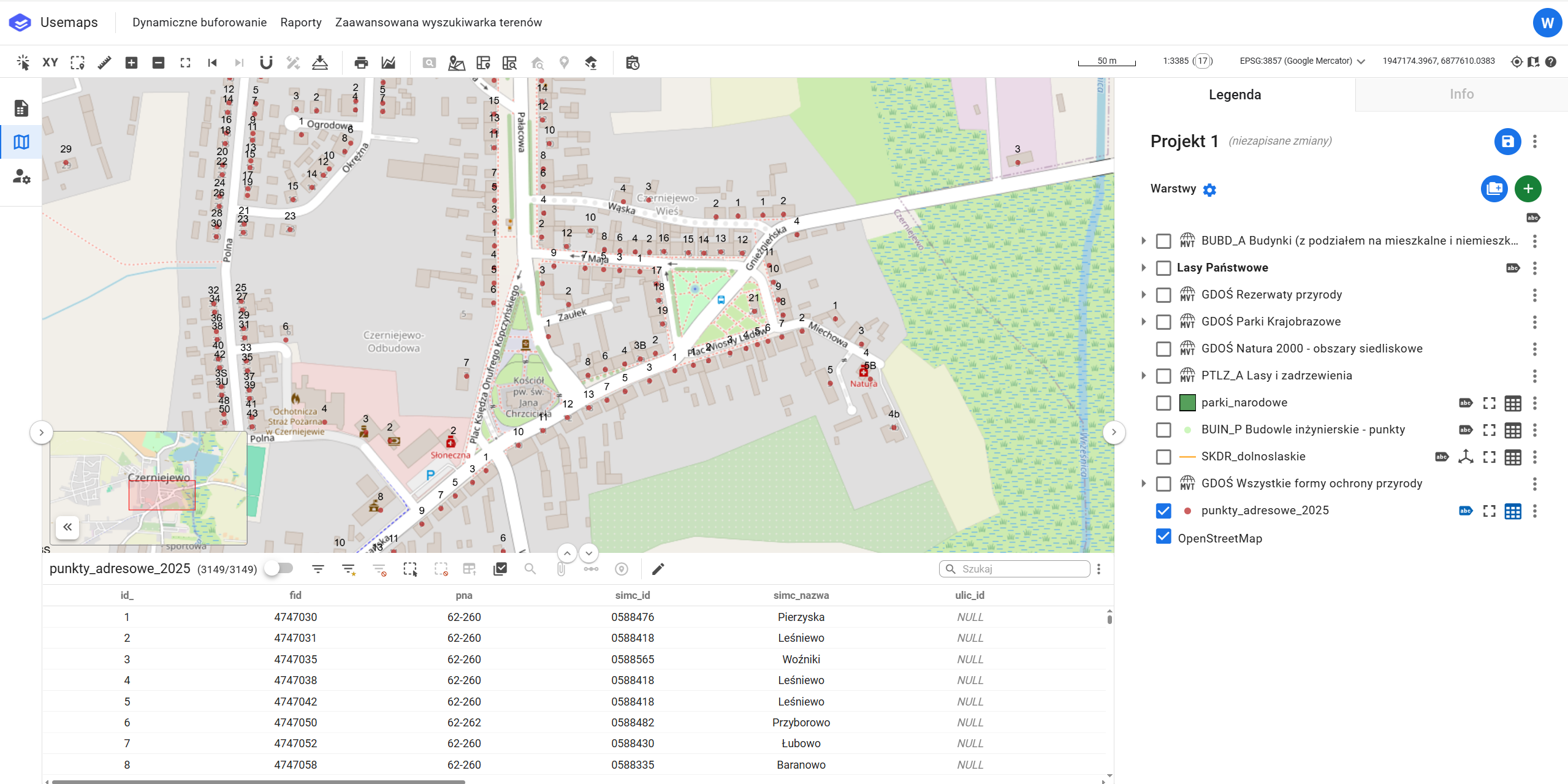
- A point layer for display on the map. The System allows address points to be displayed as a general layer.
- As reference data for Geocoders, i.e., software for finding locations based on addresses. The System is not a Geocoder.
Frequently Asked Questions
Can I have address points from my municipality as a layer in the System?
Yes. Address points can be downloaded in shapefile or GML format from Geoportal.gov.pl. They are part of the National Border Register. Instructions for downloading address points from Geoportal.