We strive to make Usemaps easy to implement. We want users to be able to learn how to use the system freely in just a few hours. This requires us to create intuitive tools (we’re trying our best 🙂
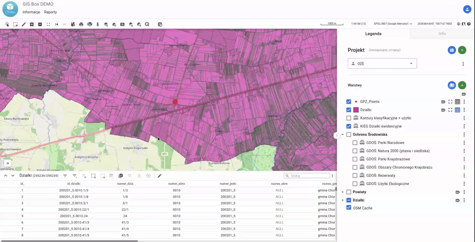
For some time now, the “SQL Query” extension has been available, which extends the object selection tools with the ability to enter any SQL query (including all PostGIS functions). This makes it possible to select objects based on spatial and attribute relationships of all data in the System.
For more convenient use, queries can be saved (added to favorites).
This allows you to query, for example, plots that are within a 2000m buffer from the main power supply point and expand queries with additional conditions.
The tool is intended for advanced users who find it more convenient to use spatial SQL than to click through the results “manually.”