The Print Coverage Indicator, which appears in the print configurator, shows an approximate print range.
As the print area increases, discrepancies may appear between the indicator and the actual coverage of the print in the output file.
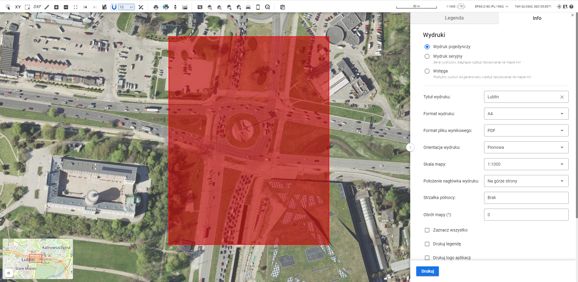
What causes discrepancies between the indicator and the actual print?
1. The map in the Map Panel is displayed by default in the Web Mercator coordinate system (EPSG:3857), which is used by most online mapping services.
2. For printing, it is recommended to configure the Administration Panel to generate prints in a projected (flat rectangular) coordinate system. Due to scale distortions, printing in EPSG:3857 is not recommended.
3. As a result, coordinate system transformations occur. This can cause slight discrepancies between the Print Coverage Indicator and the actual print in the output file.