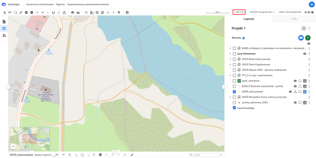
The numerical scale indicates the ratio by which objects on a map are reduced compared to their actual size.
It is presented in the form of a fraction, e.g. 1:500, which means that an object with a length of 1 m on the map corresponds to 500 m in reality.