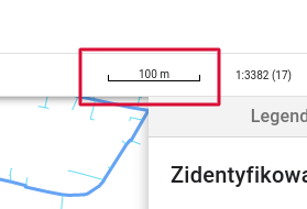
A linear scale, similar to those on traditional paper maps, provides a graphical representation of the scale. It allows for quick and intuitive estimation of real-world distances based on measurements on the map.
Example:
A segment marked on the scale corresponds to a real-world distance of 100 meters, according to the scale at which the map is displayed.