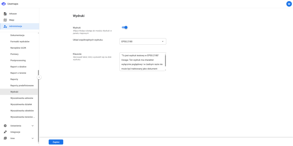
A section where you can define print-related parameters in the System. The available settings include:
- Print coordinate system – the coordinate system in which the print is generated.
– The administrator selects the print coordinate system from the list of coordinate systems supported in the given application (by default, the database coordinate system).
– We recommend generating prints in projected coordinate systems, for example PUWG 1992 (EPSG:2180) or the 2000 system for the appropriate zone.
– Generating a print in EPSG:3857 (which works well for web map display) will result in scale distortion. Due to these distortions, the meters are not “real” meters. The same behavior can be observed in the desktop application QGIS >
Therefore, to preserve correct scale, we do not recommend printing in EPSG:3857.
More about Web Mercator: In which coordinate system is the map displayed? - Clause
– text that is displayed in a specific place within the print template
e.g.Uwaga: Ten wydruk ma charakter wyłącznie poglądowy i w żadnym razie nie może być traktowany jako dokument oficjalny.