#30DayMapChallenge. Day 12. (Map from 2125. How will maps look 100 years from now? Create a speculative map of what might be—or what you hope will be.)
A map from 2125? Let’s have some fun… 🙃
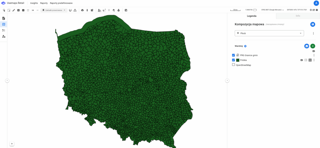
The map shows the coverage of Poland with current, vector-based, consistent, accessible, and uniform planning data. 🚀 🤯
A press headline for this map could read:
“It’s the year 2125. For the past two years, all of Poland has been covered with vector-based planning data. The data is consistent and up-to-date, allowing companies, institutions, and citizens to efficiently find areas designated for specific purposes: industrial, commercial, residential… Many GIS tools have been adapted to handle this data, making it simple and practical to use…”
We keep our fingers crossed for everyone involved in the process of transforming Polish spatial planning. We hope that full coverage can be achieved a bit sooner, because so far planning data has resisted systematization and effective digitization. We have the National Integration of Local Spatial Development Plans, but it’s just a WMS that works very slowly, and the currency of the data is questionable…